What we do
Environmental expertise.
Above and below the surface.
Field services, planning, mapping, and reporting tailored to your site and project needs.
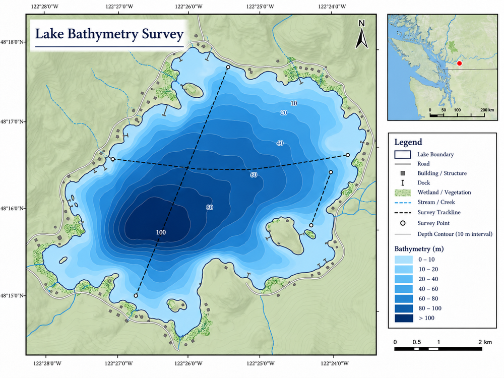
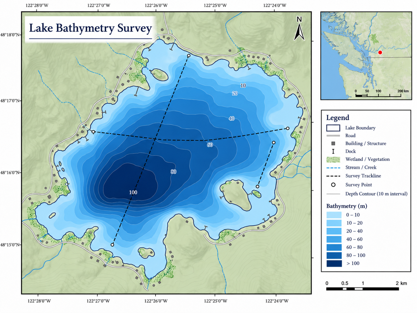
GIS, Mapping and Field Data
GIS mapping, bathymetric survey support, field data collection, and clear maps for project planning and reporting.
Explore this service →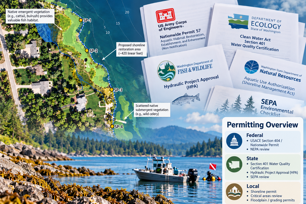
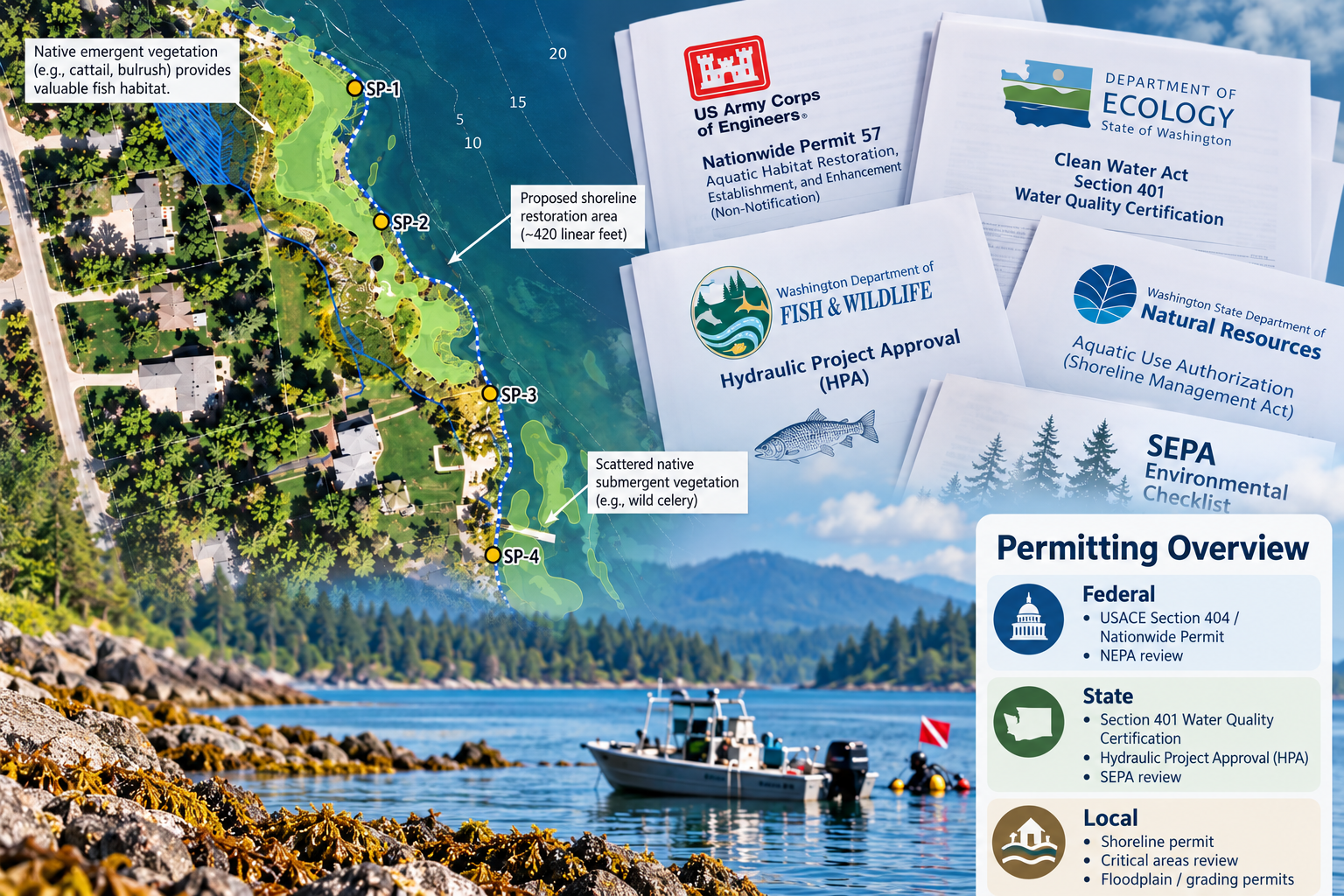
Environmental Permitting, Planning, & Project Management
Environmental review, shoreline and land-use permitting support, project coordination, and technical documentation.
Explore this service →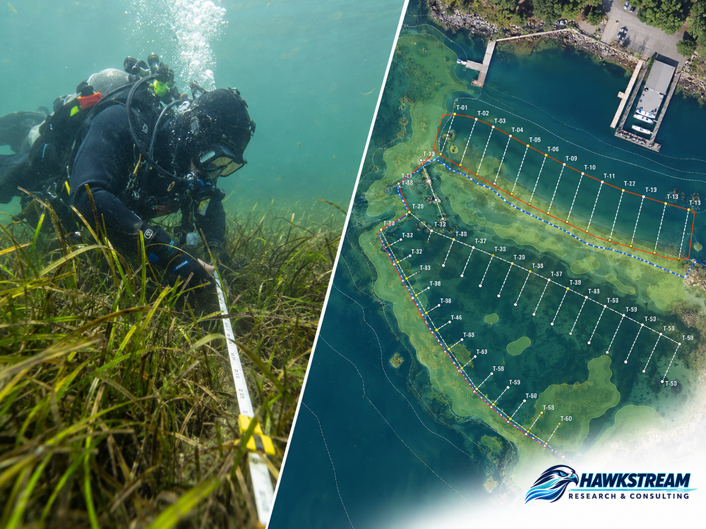
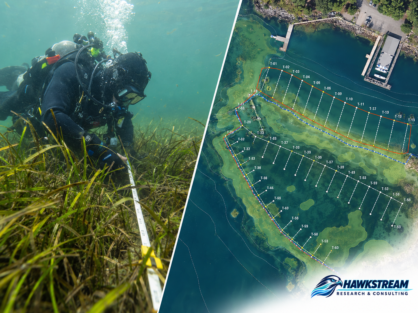
Eelgrass and Nearshore Surveys
Eelgrass, kelp, and nearshore vegetation surveys with mapping and reporting to support project review.
Explore this service →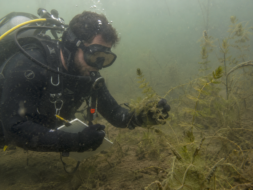
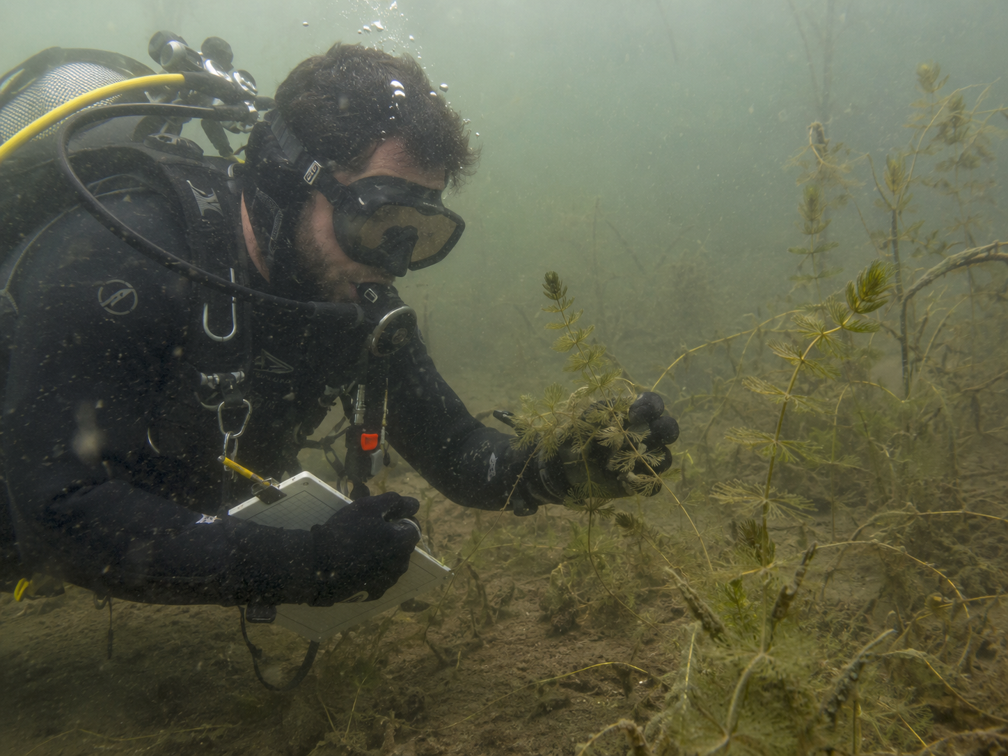
Aquatic Surveys
Lake and river assessments, aquatic invasive species surveys, vegetation management support, and scientific diving.
Explore this service →Not sure where to start?
Send us a short description of your project, its location, and your schedule. We can help define the scope and next steps.
Discuss your projectHawkstream Research & Consulting
Environmental consulting · Scientific diving · Aquatic surveys
Washington · Oregon · Idaho